YH Studio
British Isles Origami Map
British Isles Origami Map
Couldn't load pickup availability
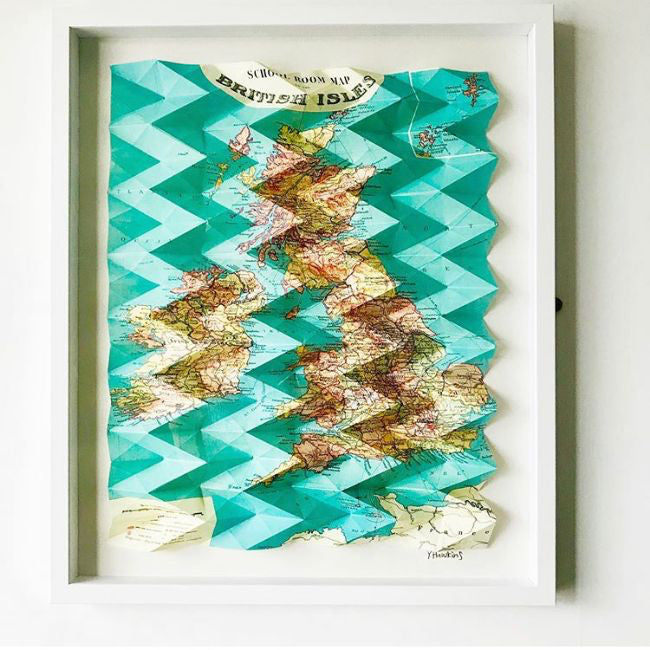
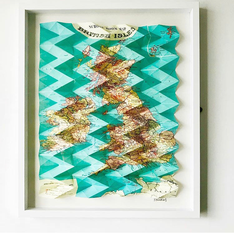
This vintage map of The British Isles was a rare find in the basement of a second hand bookshop. The 3dimensional folds create a topography into the artwork creating a beautiful balance between paper map and physical landscape.
Maps are wonderful markers of time and can time travel with you.
On sale and professionally framed, this piece is featured in the Artist Support Pledge on Instagram - a great chance to get a piece of history at a low price.
I use Ordnance Survey, Bartholemew and National Geographic Maps I find in bookshops and vintage stores. I mend old maps so I can reuse them for artwork. I am obsessed with cartography. This map is folded using an origami tessellation technique – a 3dimensional pattern which features across the whole map.
Please allow 2-4 weeks for delivery as all maps are custom made
Share


